Saluting Ships on the Isle of Grain
17th March 2024
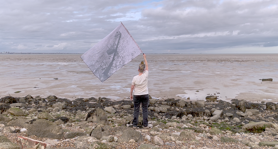
The 18th of March 2024 is the 57th anniversary of the wreck of the Torrey Canyon. As part of my ongoing work with the history and idea of the wreck I travelled with my friend Martin to the Isle of Grain to walk along the coast path and salute passing tankers.
Why the Isle of Grain? The Torrey Canyon hit Pollards Rock on the Seven Stones Reef in the channel between Land’s End and the Scilly Isles – so the Isle of Grain is far from the site itself. Partly I’m here not there because of accessibility, while the Isle of Grain has some characteristics that made it an interesting site. There is a permeability to the landscape that’s more obvious than at Land’s End and the Scilly Isles, the shipping lanes are nearer and more visible and the sense, with the infrastructure of the ports of London and of the Medway in view, of the presence of the network of tankers, of shipping, is more vivid.
There’s a liminal, thin time quality to the parts of the north Kent coast I’m drawn to. Twenty miles west on the north bank of Grain you get to Swanscombe, a place like much of this coast that overlays deep time and near history in almost unnoticeable layers. Some of the earliest evidence of hominids in the British Isles were recovered in tiny fragments here, a find now commemorated with a metal statue of an arrowhead in a new build county park. It’s a destination I’ve marked on the imaginary magical map of the wreck world for future pilgrimage. Rochester where we catch the bus up to the coast from, is more obviously layered with it’s Norman keep and cathedral, mediaeval high street and Georgian mansions giving way as soon as you step off the centre into sub-par 1980s developments, multi-lane roads and turn of the millennium infrastructure investments. Visible tides in and out of London and of England in stone and concrete, glass and steel at the other end of time from the tiny fragments sifted out of Swanscombe’s mud.
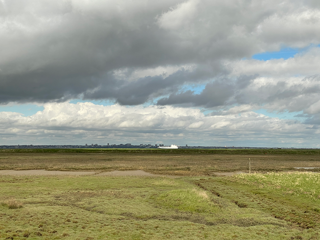
We get to the coast road through hilly bulk of the back of the Grain peninsular, alternating suburban fragments with farmland, light industry parks and tiny pretty villages around ancient churches. The coast path runs along a nature reserve, on one side the Thames estuary and on the other low flat flood-land cut with channels. The day is bright and windy and the air is fully of skylarks, east on the horizon are the domes and blocks of Grain’s power stations. We’re heading there the long way around the coast path. It’s current and abandoned buildings are another of the rationales for the visit with the site of one of the early oil depots for the UK built and owned by the company that would eventually become British Petroleum; the owner of the Torrey Canyon’s oil and commissioner of her voyage.
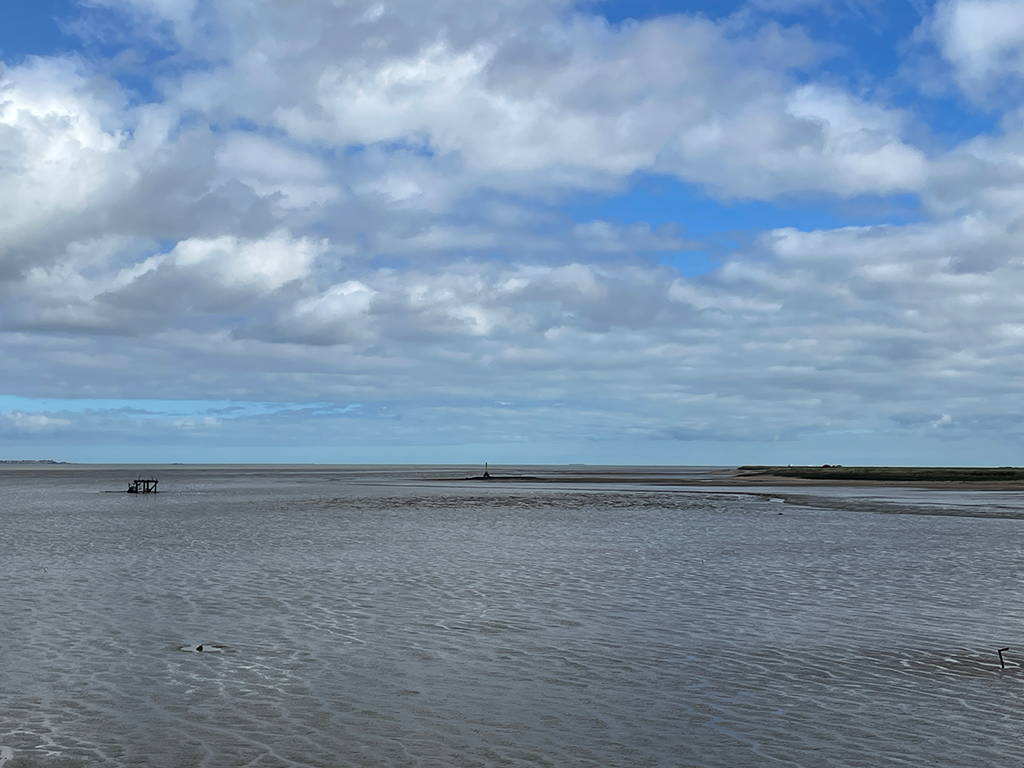
The water is grey brown, wide. Across we can see Tilbury fort along to Southend and it’s pier. I can make out the cruise liner dock and the refuelling gantries. The tide is near low and a maker we were aiming for – the London Stone, marking the end of the City of London’s control of the river, is visible but out of reach across some Ministry of Defence land we can’t easily cross. We walk on, onto the edge where the the Medway and Thames meet, watching the container ships passing